
Map the site
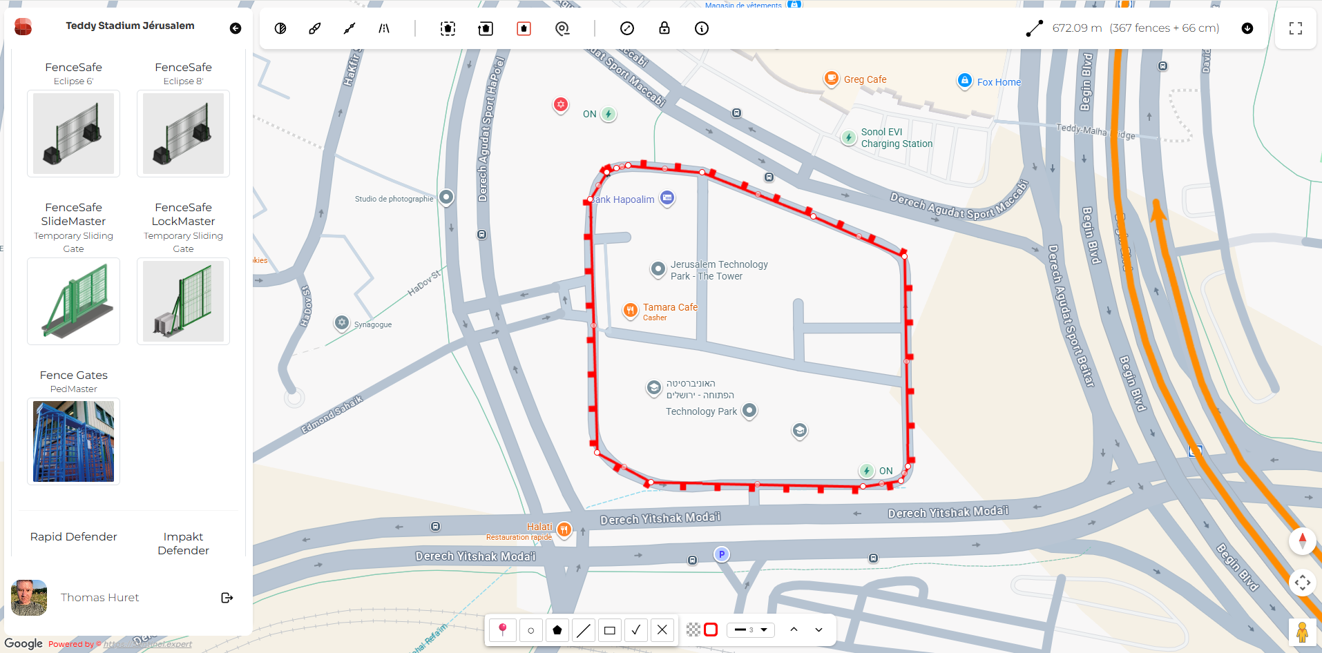
Import a plan, aerial image or GIS base map and define access points, routes, boundaries and sensitive areas.
- Real geographical context
- Access and perimeter definition
- One shared site reference
Map the real location, test hostile vehicle scenarios and compare mitigation options in one practical HVM planning workflow.
Use the same site reference to understand the location, test vehicle approaches and develop practical mitigation options.
Import a plan, aerial image or GIS base map and define access points, routes, boundaries and sensitive areas.
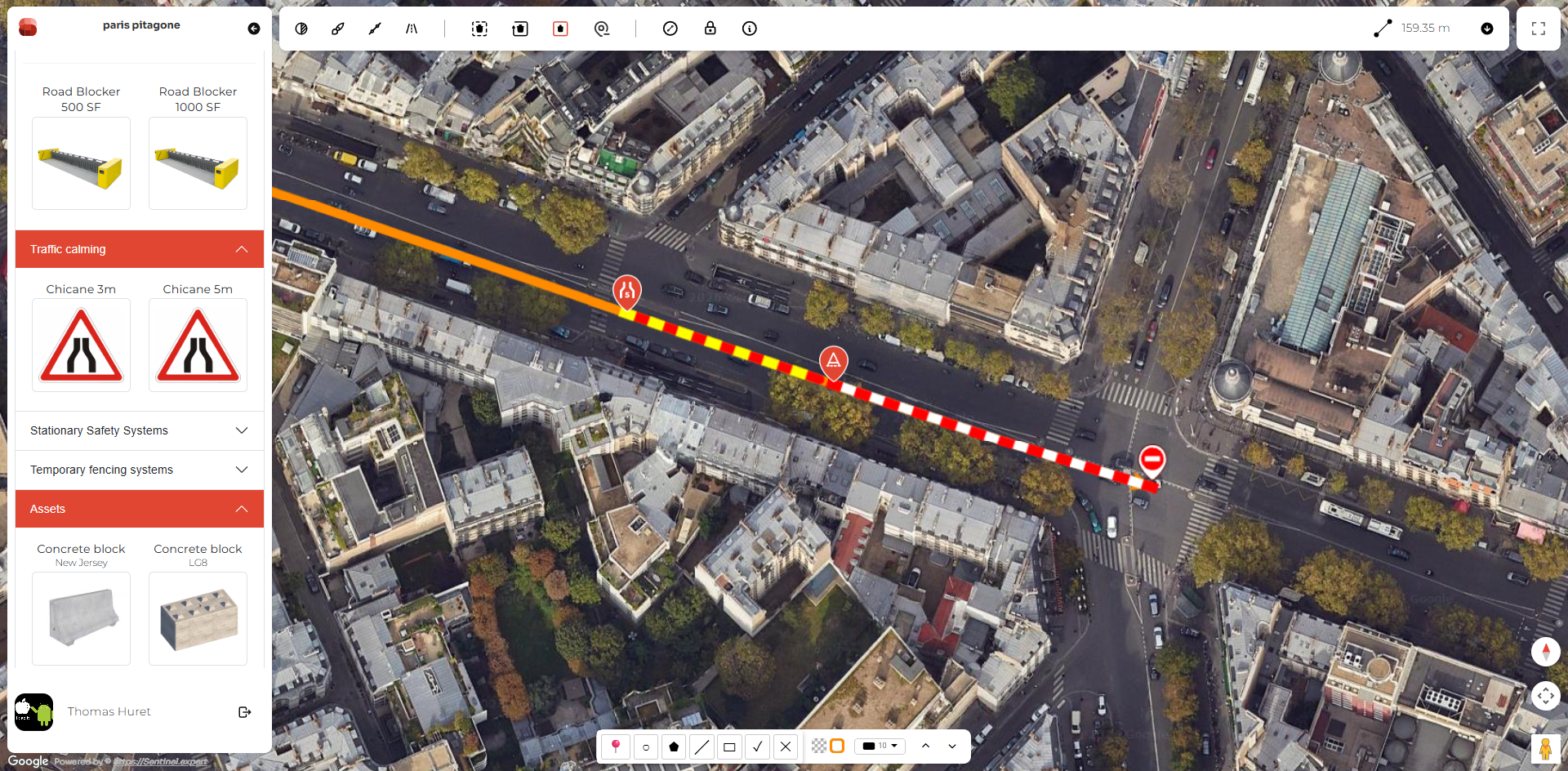
Test vehicle parameters, approach paths, trajectories and potential speeds against the real site layout.
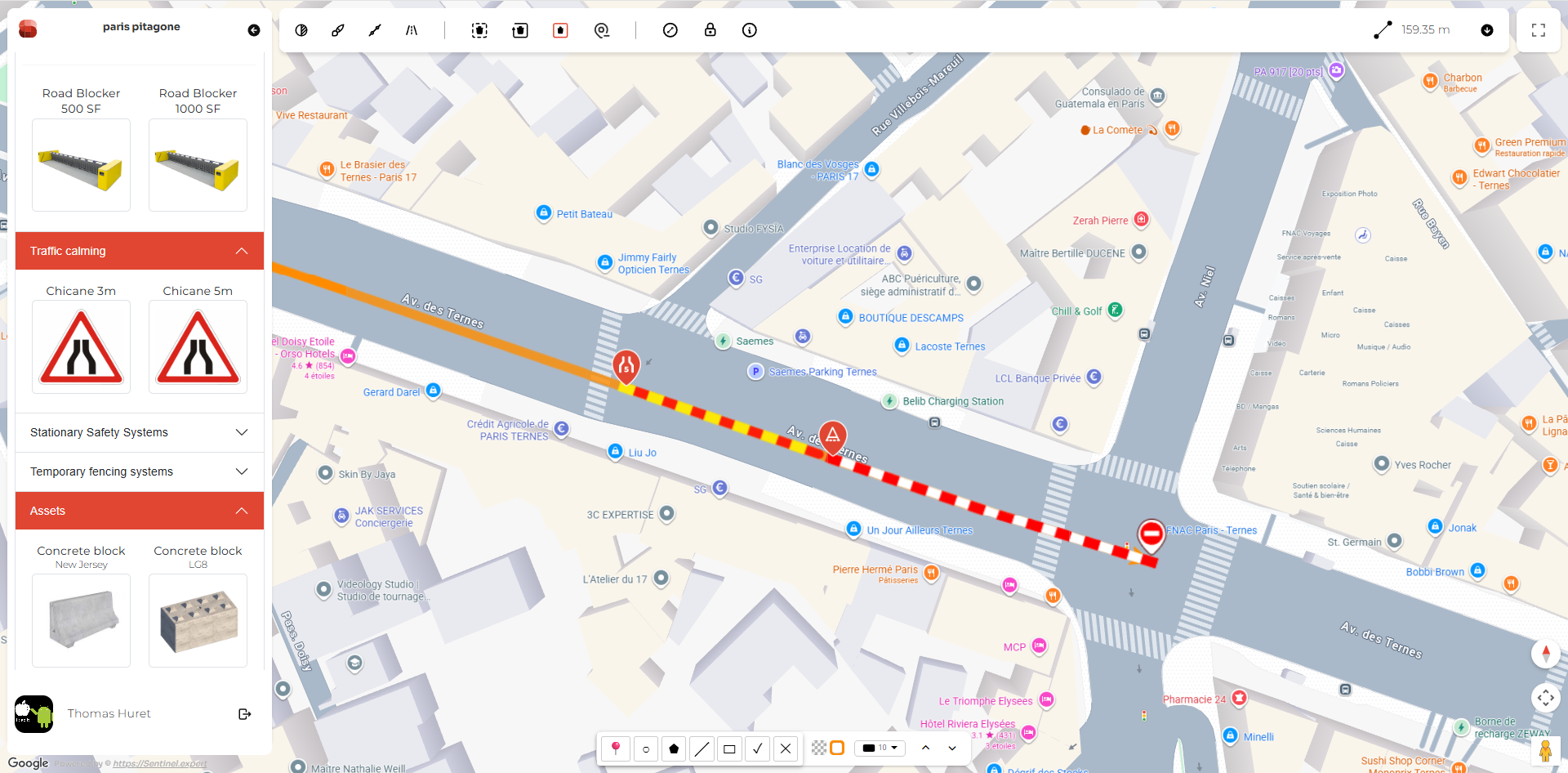
Position mitigation measures, compare layouts and prepare clear material for review before implementation.
The essential tools for building a site assessment, testing scenarios and reviewing mitigation options.
Use plans, layers, aerial imagery or a base map as your site reference.
Model vehicle parameters, entry angles and multiple approach trajectories.
Position bollards, barriers, planters and other mitigation measures.
Create visual outputs that are easier for teams and stakeholders to review.
Sentinel helps teams assess routes, vehicle scenarios and mitigation layouts without first producing detailed construction drawings.
It complements CAD and BIM tools rather than replacing them: Sentinel supports the planning decisions that come before execution-stage design.
Understand the site and vulnerable approaches.
Review scenarios and mitigation options quickly.
Turn technical planning into clearer visual material.
Find practical answers about the platform, HVM planning, simulations, outputs and collaboration.
Bring a location or planning challenge and explore how Sentinel can support your HVM assessment.